|
|
|
 |
|
|
Travel
& Geography
> The
States & Territories
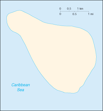
Navassa Island |
|
|
|||
|
|||
| Texts
are abridged from U.S. State Department IIP
publications and other U.S. government materials. |
|||
| What
kind of information materials are available?
CD: These documents are available in fulltext format on the About the USA CD-ROM. Teachers: Request a copy for classroom use. L: Selected documents are available in German as well as other languages, including Arabic, Chinese, French, Spanish, Persian and Turkish. |
DISCLAIMER
Any reference obtained from this server to a specific commercial product, process, or service does not constitute or imply an endorsement by the United States Government of the product, process, or service, or its producer or provider. The views and opinions expressed in any referenced document do not necessarily state or reflect those of the United States Government. |

